From the earliest years of Lowell’s growth, the topography and location of Back Central set it apart from other sections of the city. Situated south of the major mill complexes, below Church Street, this neighborhood is bounded on the east by the Concord River and to the west by the South Common. Geologically it was formed in the last glacial retreat, composed of a thin glacial till, and assuming the shape of what 19th century geologist Charles H. Hitchcock described as a “lenticular hill.” For generations, prior to English colonization in the 18th century, Native Americans of the Penacook, Wamesit, and Pawtucket tribes, populated this forested area, cleared and farmed some of the land, and fished in the Concord and Merrimack rivers.
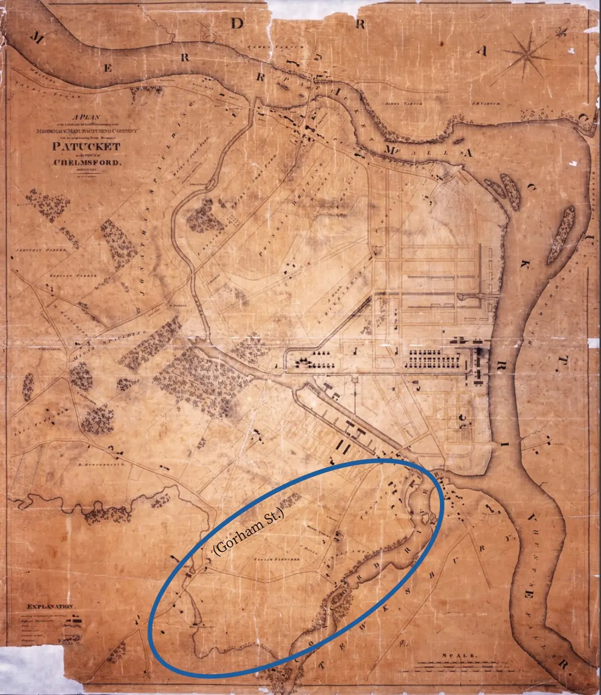
Detail of the 1825 Chelmsford Plan.
By 1821, when the Proprietors of Locks and Canals, which was responsible for Lowell’s early industrial development, purchased a great deal of this land, the area was primarily farmland, but still retained small tracts of forest. By the mid-1820s, however, new streets were laid out and several dwellings erected.
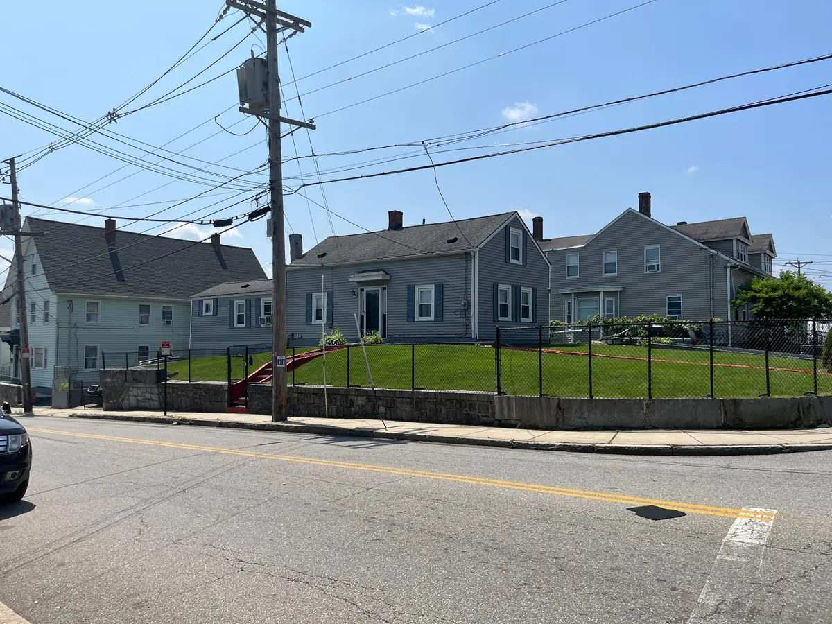
The Abel Rugg house at 7 Wamesit Street.
The oldest extant house is the Abel Rugg house at 7 Wamesit Street (c. 1822); and the oldest streets are Central and Mill (Mill ran down to the ironworks at Massic Falls on the Concord). As indicated on the 1825 map, the juncture of Central and Mill created one of the oldest urban squares in the city (what is now known as Hosford Square). The area soon earned the nickname “Chapel Hill” due to its topography and the subsequent construction of two chapels near its crest (it would not be called Back Central until the 1880s). Over the ensuing decades, Chapel Hill emerged as Lowell’s premier suburb.