
09/01/2022
By Katharine Webster
As wind turbines become an increasingly important renewable energy resource, UMass Lowell researchers are working with industry partners to make the turbines more reliable and prevent costly failures.

Sabato says that a combination of video, optical motion magnification and computer analysis shows promise for detecting excessive motion that can indicate potential foundation problems—without the need to stop the turbine, put sensors on the blades or drill a core into the tower’s spread foot concrete pad, the current methods used when issues are suspected.
“Companies that operate wind farms are looking for a faster, easier and accurate way to monitor their assets,” Sabato says.
The advisory board of WindSTAR (Wind-Energy Science, Technology and Research), an industry-university cooperative research center at UMass Lowell that is funded by the National Science Foundation, approved a two-year grant of $134,000 for the research. Mechanical and Industrial Engineering Prof. Christopher Niezrecki, who has led multiple WindSTAR research projects, is co-principal investigator on the grant.
“Companies that operate wind farms are looking for a faster, easier and accurate way to monitor their assets.” -Asst. Prof. Alessandro SabatoIn the first year of the project, Sabato, Niezrecki and Nieduzak visited a large wind farm and took high-speed videos of the movement of several operating turbines in relation to their foundations. When the researchers applied optical motion magnification, they were able to enhance the videos to show side-to-side movement as small as 2 microns (0.002 millimeter).
Using computer analysis, they could also see at which frequencies the vibration was taking place. That will allow wind turbine operators to make repairs before a foundation suffers irreparable damage, Nieduzak says.
In initial testing, they also found that the motion of the turbines is slow enough that it can be captured with ordinary cellphone video, with no need for a high-speed camera.
Now that they have shown the technology is feasible, they will do blind testing on a range of turbines. The potential for time and cost savings is significant, Nieduzak says: “You can roll up in a car, take a video for 30 seconds and go to the next turbine.”
The scientists are experimenting with using the same video enhancement technology to diagnose excess vibration in turbine blades and in bushings for wind farm transformers. Bushings are hollow insulators that protect electrical circuits from other conductive materials; their failure can lead to short circuits and massive damage.
Pothole Prediction
Sabato is also using computer-enhanced photography to analyze roadways for potential potholes and sinkholes before they occur.
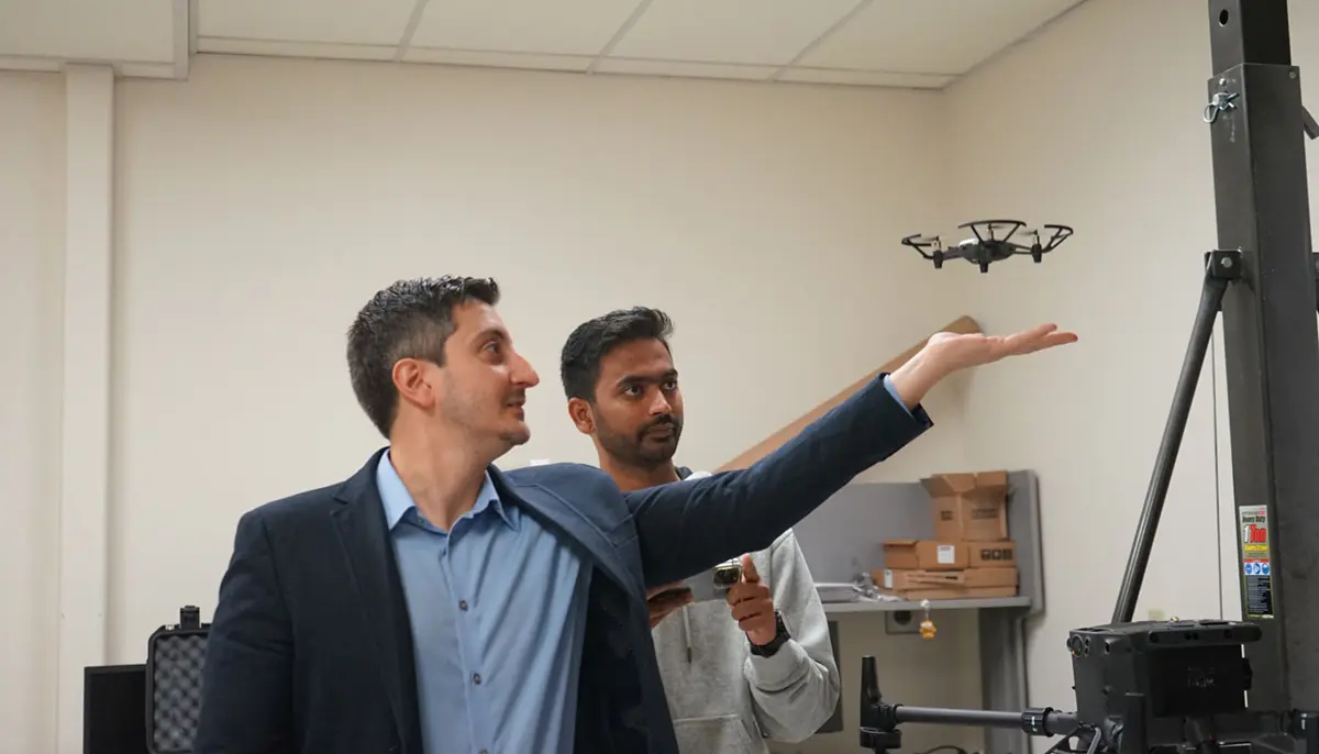
Under a $60,000 Massachusetts Department of Transportation (MassDOT) grant, Sabato and Ph.D. student Nitin Kulkarni—a member of Sabato’s research lab and a licensed drone pilot—use an unmanned aerial system that takes infrared photos of road surfaces to pinpoint areas where underground pipes and culverts may be failing.
After enhancing the resolution of the infrared images, Sabato and Kulkarni overlay them on MassDOT photos of the road surface to show workers where subsidence, or ground sinking, is starting to undermine the pavement. Currently, Sabato says, crews use ground-penetrating radar to check an entire road surface for culvert or pipe failures, a lengthy and expensive process.
“With the radar, you need to stop the traffic for hours and go back and forth over the whole section of road,” Sabato says. “We just fly the drone above the road surface instead. We get a picture every 30 seconds, and we only need to stop traffic for about 15 or 20 minutes.”
Sabato built a model section of roadway over a large culvert pipe in his lab during winter 2021, with materials provided by MassDOT. He and Kulkarni heated the surface with halogen lamps and took infrared photos as it cooled to establish a baseline and figure out the computer algorithm needed to interpret the camera’s readings.
Next, they examined a section of road in Townsend, Massachusetts, taking direct measurements of the surface temperature, scanning the road with ground-penetrating radar and then checking those results against the enhanced infrared images. When they returned to Townsend a year later, they confirmed that their system worked.
“The first year, our infrared data was showing some problems developing underground, but no defects appeared on the surface,” Kulkarni says. “Exactly one year later, there was a big dip showing up.”
The team also recently scanned several hundred feet of the ramp onto the Chelsea Viaduct for MassDOT. The viaduct, which lifts a section of U.S. Route 1 above Chelsea’s local roads and is a major bus and commuter route into Boston, just underwent a major renovation. Sabato hopes to scan the ramp regularly to see where the road surface deteriorates over time.
“You see delamination in the pavement, smaller gaps in the layers,” he says. “Water seeps in; it freezes and thaws, increasing the gap; and the roadway deteriorates, a problem exacerbated by harsh New England winters.”
Civil and Environmental Engineering Prof. Tzuyang Yu, who conducts research on subsurface monitoring of reinforced concrete structures, is co-principal investigator on the MassDOT grant.