Topics: Research Engineering Faculty & Staff
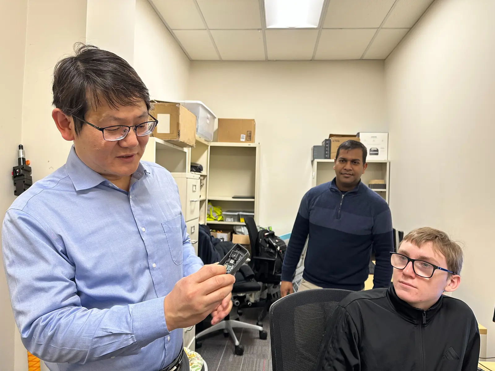 Image by K. Webster
 Civil Engineering Professor Yuanchang Xie has received multiple state and federal grants for research on traffic safety. Here, he shows off a camera his lab built to assist MassDOT in monitoring intersections.
Civil Engineering Professor Yuanchang Xie has received a two-year grant from the Massachusetts Department of Transportation (MassDOT) to work on three tasks that will help to improve traffic safety across the state.
Two of the tasks involve adding local data to national models – one for evaluating intersection safety and the other for predicting the traffic impacts of new developments. The third task uses artificial intelligence (AI) to better map sidewalks.
The intersection study closely analyzes Massachusetts data from 12 types of intersections and uses that to adjust predictive models from the federal Highway Safety Manual for local conditions.
“Traffic and roadway design in Massachusetts are quite different from Texas, where I was before,” says Xie, who earned his Ph.D. at Texas A&M University.
“There, all the streets are pretty straightforward. Here, we have to deal with what we have – a lot of strange, weird intersections,” such as five-way intersections and narrow streets in older cities that weren’t originally designed for cars, he says.
Xie’s research team – two postdoctoral researchers, a Ph.D. student, one master’s student and several undergraduates – also reviews MassDOT crash reports for each intersection before calibrating the models. (MassDOT redacts all personal identifying information in the reports.)
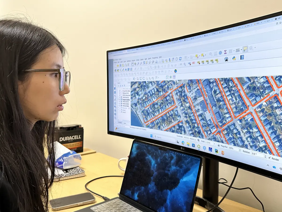 Image by K. Webster
 Postdoctoral researcher Xintong Yan works on refining an AI model that identifies sidewalks from aerial photos.
But first, the team hand-checks each crash report to make sure it actually pertains to that intersection. To help with that, they have developed an AI tool that can scan both text and accident diagrams for inconsistencies and errors, he says.
“It doesn’t happen often, but we all make mistakes,” Xie says. “Our tool can help you automatically identify reports that are likely to be marked at the wrong location so that you don’t have to review as many by hand.”
The intersections and their configurations are identified using a map created by airplanes that fly over the state in a grid pattern, taking high-resolution photos of the entire surface. The aerial map consists of more than 10,000 still photos that are 10,000-by-10,000 pixels in size, with each pixel representing 6 inches on the ground, Xie says.
Xie’s team also uses street-level images to identify features that are unclear from the aerial map, such as traffic signs and signals.
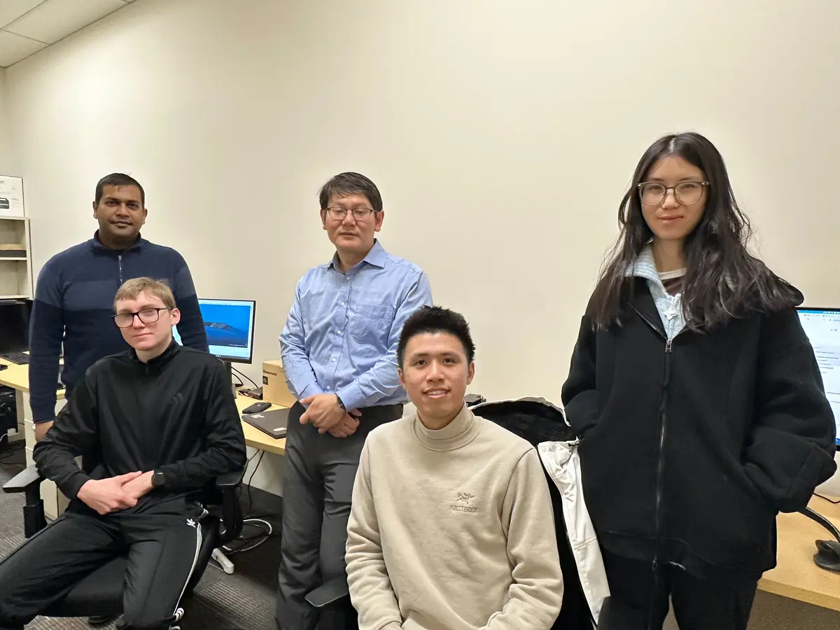 Image by K. Webster
 Xie's research team includes, from left, postdoctoral researcher Zubin Bhuyan '24, master's student Edward Hoene '25, Xie, Ph.D. student Guanhe Wu and postdoctoral researcher Xintong Yan.
Another task under the grant involves using AI to analyze the same aerial photos for more accurate data on the location of sidewalks throughout the state. The ability to accurately identify and map sidewalks from aerial imagery will help local officials analyze pedestrian safety and plan for street improvements, he says.
That mapping project builds on an earlier grant with MassDOT in which Xie used AI and the aerial photos to identify crosswalks across the state. Since the photo maps are updated every two years, comparisons can show which crosswalks need to be repainted, he says.
Xie has since tested that AI tool on crosswalks in New Hampshire and northern Texas as well as in Miami and towns in Washington and Maine, where it worked well, he says. Sidewalks are more difficult to analyze, as they are more likely to be shaded by buildings and trees, but his team is making good progress on refining the AI model, he says.
The technology could easily be adapted to analyze other pavement markings, such as bike and bus lanes, he says.
The third task uses AI to predict how traffic will be affected by new buildings and developments. Xie aims to update models in the Trip Generation Manual, a national analysis tool created by the nonprofit Institute for Transportation Engineers, with more Massachusetts-specific data.
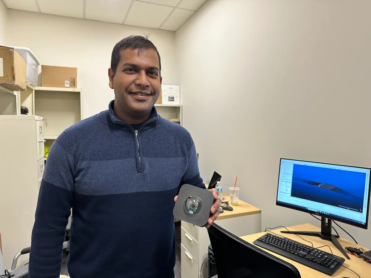 Image by K. Webster
 Postdoctoral researcher Zubin Bhuyan holds up a low-resolution camera that counts vehicles, bicycles and pedestrians.
Traffic impact studies, especially for peak usage hours, are required before approval of new developments such as hotels, apartment complexes or shopping centers, he says. But follow-up studies are often required, too, to see if the predicted impacts on traffic were accurate.
For example, Xie and his students have studied traffic at a new Market Basket grocery store with six separate entrances.
Using video cameras, supplemented by thermal imaging cameras in unlit areas, they take continuous video at every access point, then use AI to count the pedestrians, cyclists and vehicles entering and exiting at different times of day. The cameras are low-resolution and mounted in a way that protects individuals’ privacy.
“We modify the resolution and the angle of the cameras so that you can’t see faces or license plates,” Xie says.
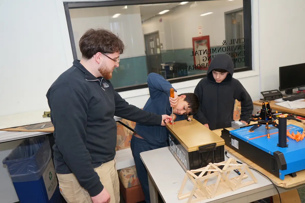
Normally, Xie says, video and thermal imaging cameras for such purposes cost thousands of dollars apiece. But he and his research team have built six low-cost cameras that can operate nonstop for up to three days. They plan to build another half-dozen so that they can analyze traffic at as many as three or four sites simultaneously.
While the cameras must be mounted manually, using AI to quantify traffic will save the state transportation agency time and money, he says.
“This will be a nice tool for MassDOT, because they have a constant need to monitor traffic in different locations,” he says.
Related Stories